Tag Archive

photogrammetry

42 articles on photogrammetry. Field-tested methodology from a GIS scientist with M.S. GIS, FAA Part 107, and 10+ years of geospatial work.

LiDAR vs Photogrammetry

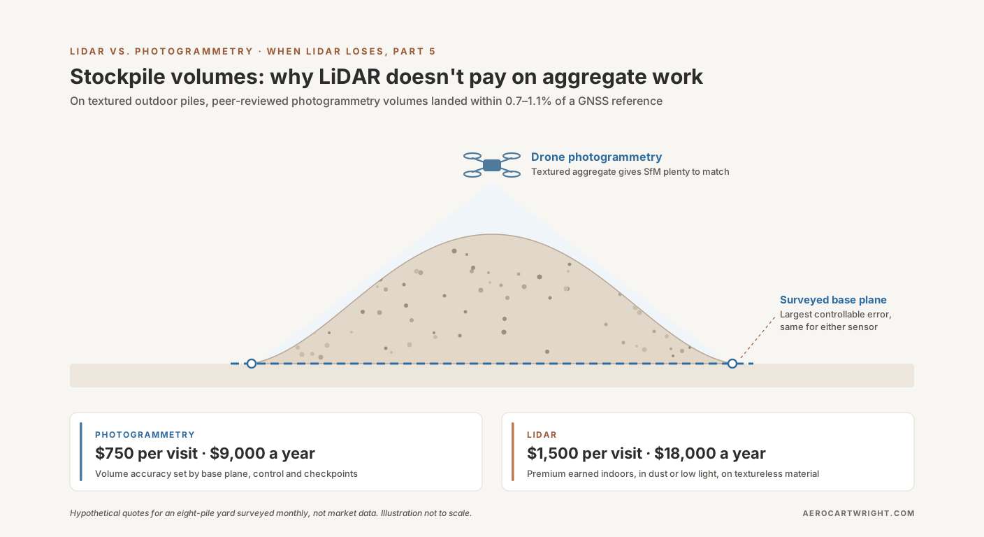
Stockpile Volumes: Why LiDAR Doesn't Pay on Aggregate Work

Aggregate stockpiles are textured and outdoor — where peer-reviewed photogrammetry studies landed within 0.7–1.1% of a GNSS reference volume. When the LiDAR premium isn't earning its keep.

Read more →
ODM Cloud

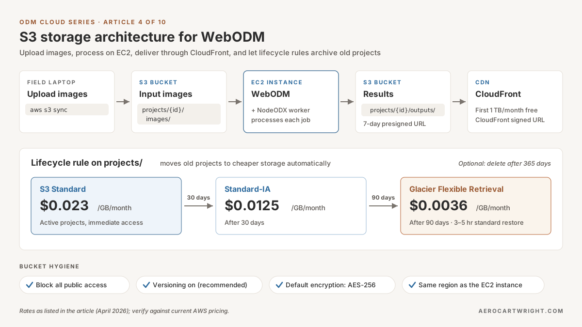
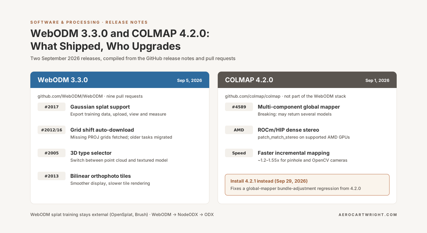
S3 + WebODM: Upload Images, Download Results

Organize drone images in S3 for WebODM: folder structure, presigned URLs for client delivery, lifecycle policies to control storage costs. CLI included.

Read more →
Photogrammetry Software

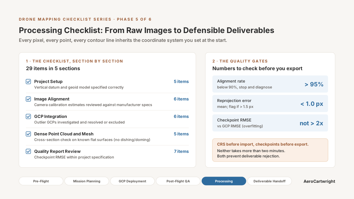
WebODM Settings Explained: Get the Best from ODX

Every WebODM/ODX processing parameter explained: feature-quality, pc-quality, matcher-type, mesh-size, SMRF, orthophoto-resolution. Three usable presets.

Read more →
Drone Hardware

Best Consumer Drones for Mapping in 2026

Consumer drone mapping buyer's guide: DJI Mini 4 Pro vs Mini 3 Pro vs Autel Evo Nano+. Accuracy, rolling shutter, GCP needs — field-tested verdicts.

Read more →
Drone Mapping Fundamentals

What Is an Orthomosaic? A Practitioner's Guide

An orthomosaic is a georeferenced image mosaic built from overlapping drone photos. How photogrammetry creates one, GSD, GeoTIFF vs COG, GIS use.

Read more →
Featured Article
Software & Processing

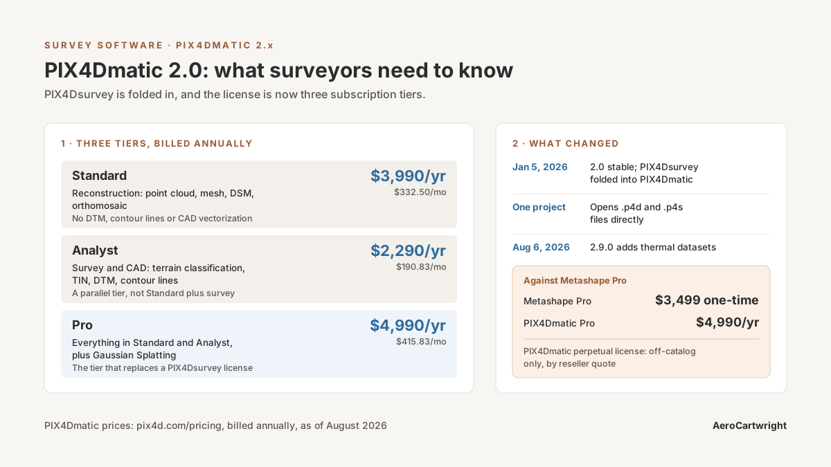
PIX4Dmatic 2.0: What Surveyors Actually Need to Know

PIX4Dmatic 2.0 absorbs PIX4Dsurvey into three tiers. Full comparison vs Metashape and DJI Terra on price, accuracy, GCP workflows, and deliverables.

Read more →
Hardware & Equipment

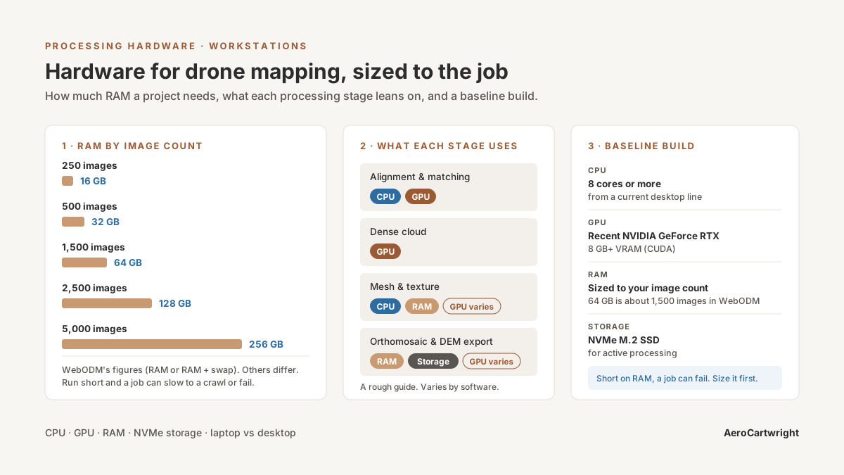
The Ultimate Hardware Guide for Drone Mapping

Drone mapping hardware guide: CPU, GPU, RAM, NVMe requirements for photogrammetry. Workstation builds by project size and processing software.

Read more →
Data & Deliverables

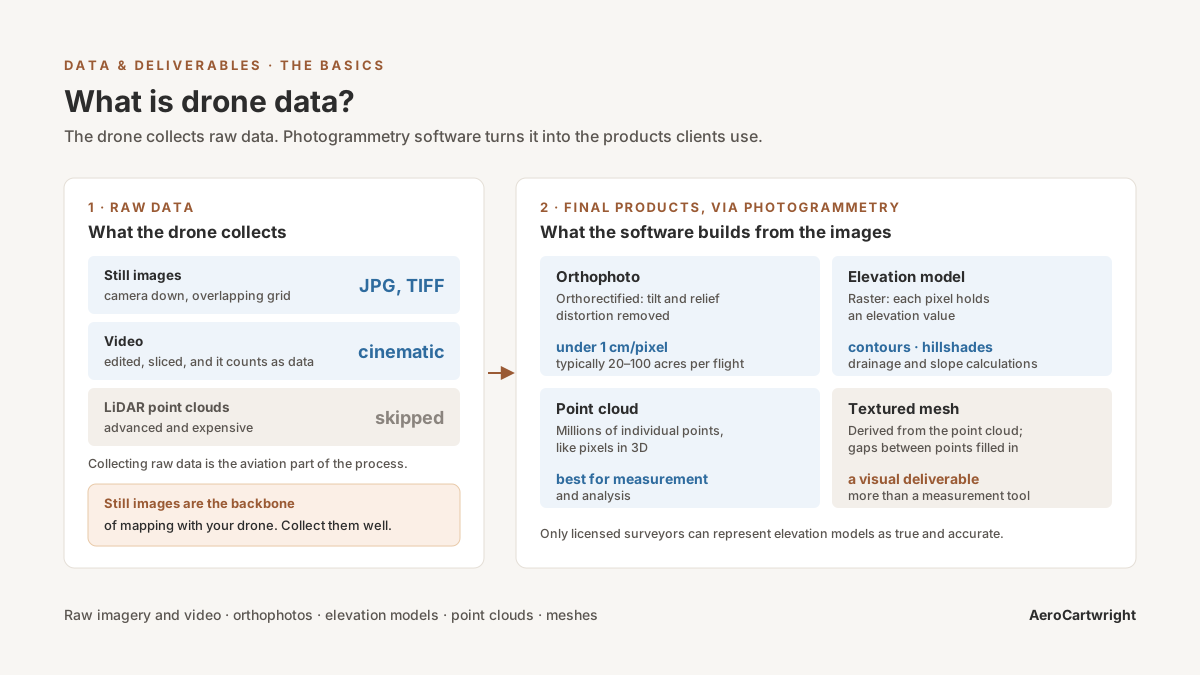
What Is Drone Data?

Drone data explained: imagery, orthomosaics, point clouds, elevation models, 3D meshes. How photogrammetry turns photos into geospatial products.

Read more →
Getting Started

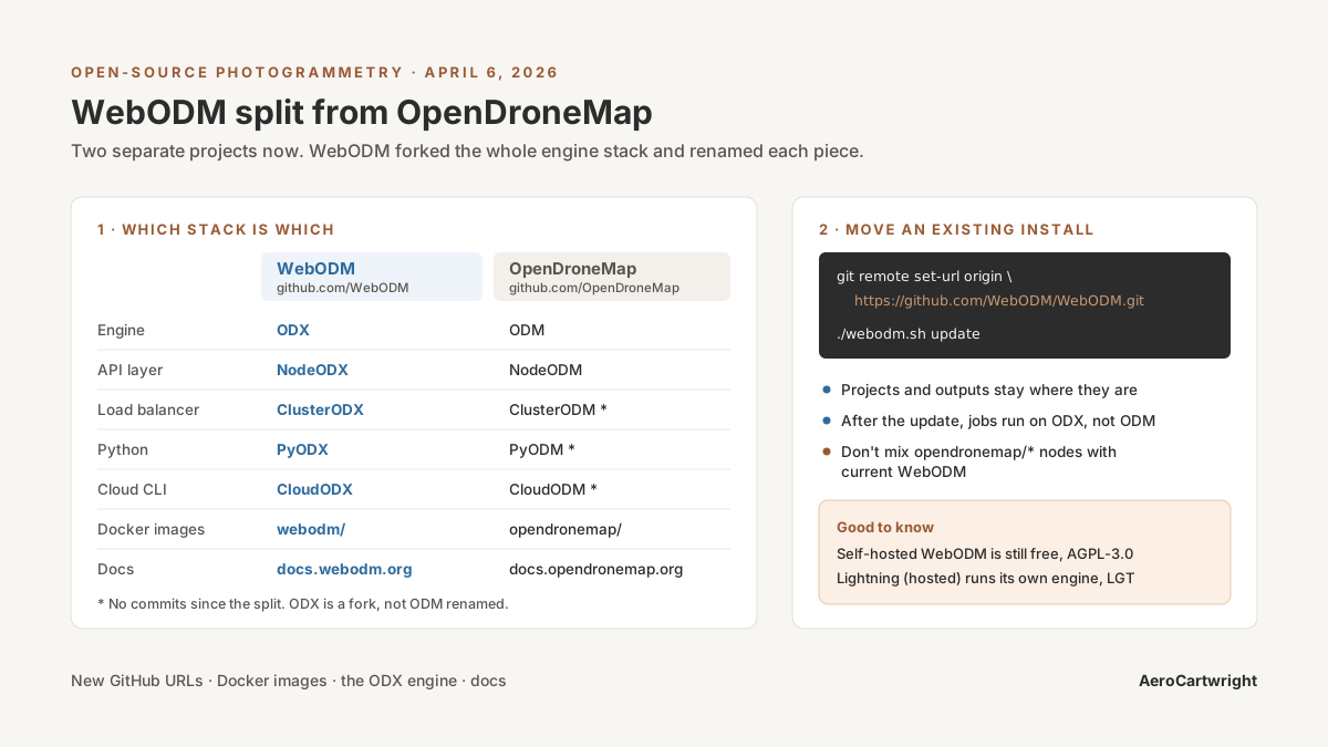
Welcome to AeroCartwright

AeroCartwright: drone mapping education and geospatial tools from a working GIS professional with firefighting, academic, and federal field experience.

Read more →